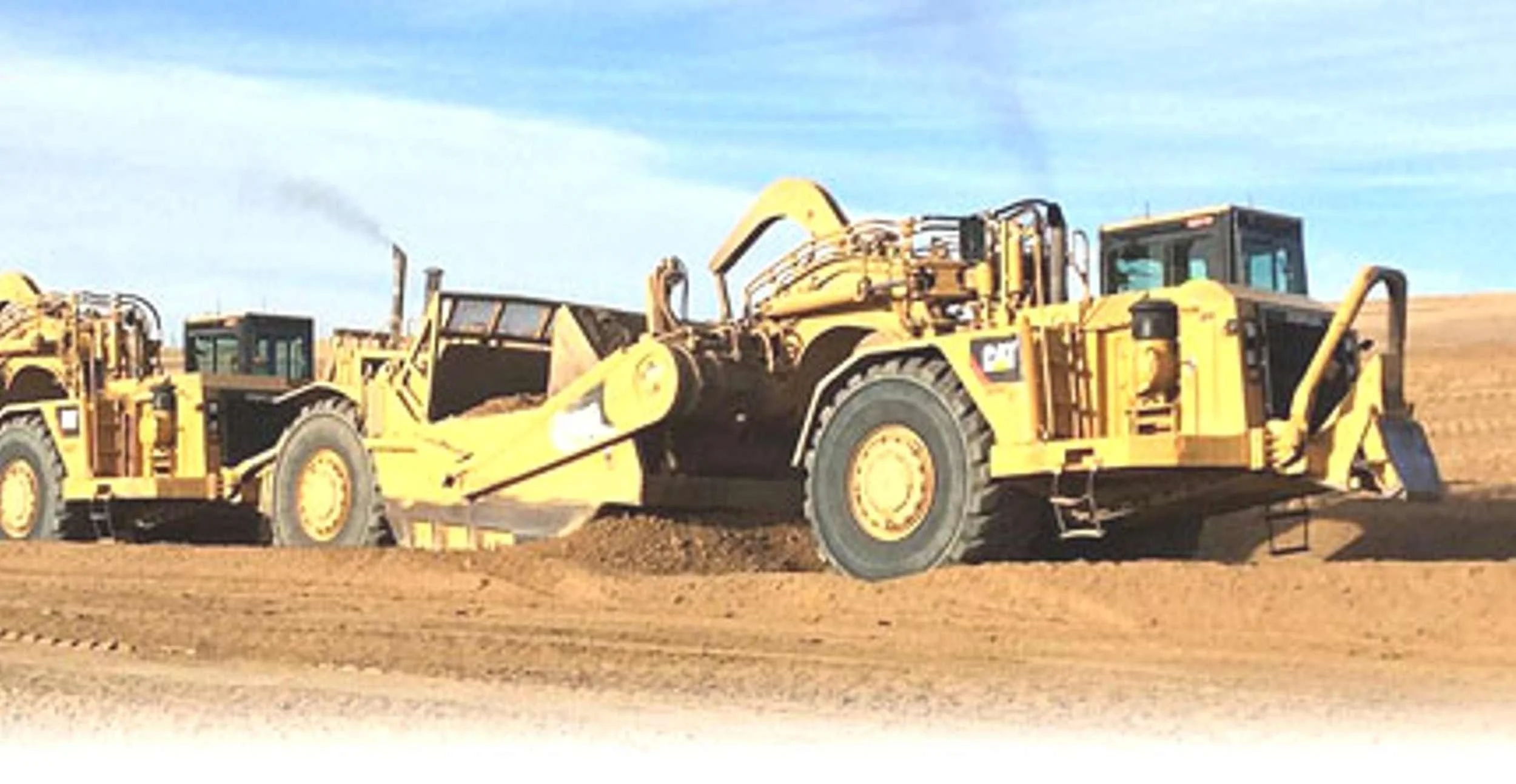
Earthwork Takeoff Service
Operating Since 2008
Quick · Accurate · Inexpensive
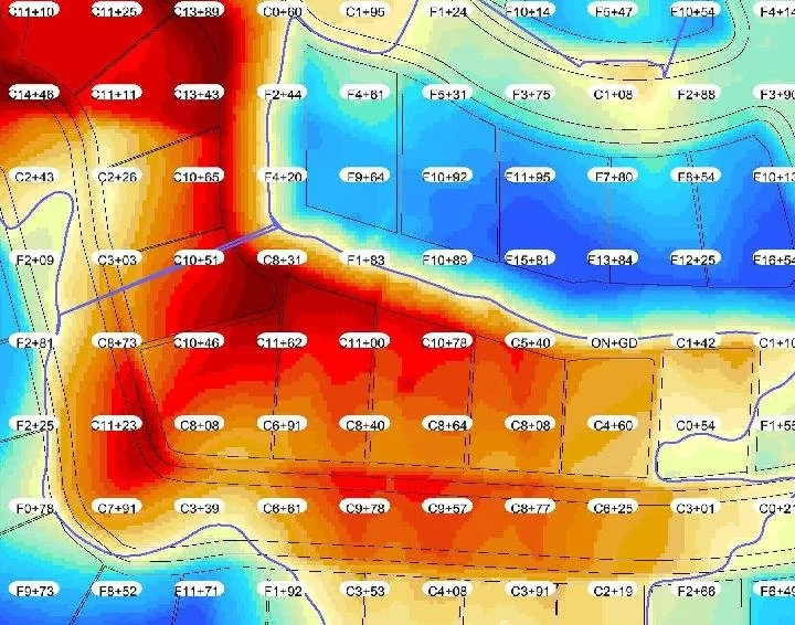
Professional, accurate earthwork takeoffs with client-ready visuals you can use as sales tools.
Organized quantities for grading, demolition, utilities, paving, and related bid items.
Branded visuals — 3D site views, cut/fill maps, Google Earth overlays — that help your customer understand the project.
The detailed quantities stay protected in the summary report, while the visuals give you something professional to send with your proposal.
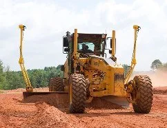
Professional, field-ready GPS models prepared for Trimble, Topcon, and Leica systems.
Clean, organized machine control files are built from the project plans so your crews can move dirt with confidence.
Organized layers, compatible files, and reviewed surfaces help reduce field confusion before the model goes to work.

Professional, detailed civil construction estimates built with AES custom Easy-To-Use (ETU) software.
Estimates are prepared using your crews, equipment, production rates, material costs, and project documents. No RSMeans Data book prices. No generic unit-price shortcuts.
Simple enough to use, powerful enough for real civil construction estimating.
Each estimate is organized so you can review, modify, and adjust it as needed.